UN
Ty Dymunol
£ 235,000
Description
We don't have a Description for this property.
- Bedrooms
- 4
- Bathrooms
- 0
- Sqft
- 1,472.00
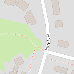

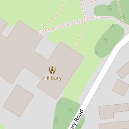

Leaflet © OpenStreetMap contributors
The heatmap indicates the level of crime in the area. The color of the heatmap indicates the crime severity and recency.
Metrics Year-on-Year
- Average area value
- 363,275.00 £Increased by 0.98 %
- Est sale value
- 429,824.00 £Increased by 2.46 %
- Average area rental value
- 922.00 £/moDecreased by 1.28 %
- Est letting value
- 0.00 £/mo
- Est rental Yield
- 3.05 %Decreased by 2.24 %
- Crime Rate
- 0.00 %
from 359,732.00 £
from 419,520.00 £
from 934.00 £/mo
from 0.00 £/mo
from 3.12 %
from 0.00 %
Nearby Schools
| Name | Type | Ofsted | Distance |
|---|---|---|---|
| St Joseph'S Catholic And Anglican Secondary School | Welsh Establishment | 0.40 KM | |
| St Giles Vc Church In Wales Primary School | Welsh Establishment | 0.57 KM | |
| St Mary'S R.C. Primary School | Welsh Establishment | 0.82 KM | |
| Ysgol Bodhyfryd | Welsh Establishment | 0.90 KM | |
| Woodlands Children'S Development Centre | Welsh Establishment | 1.08 KM |
Images
Nearby Streets
| Name | Average Price | Average Sqft | Distance |
|---|---|---|---|
| Talbot Court | £ 0 | 0 | 0.00 KM |
| Coed-y-Nant | £ 0 | 0 | 0.00 KM |
| The Nurseries | £ 145,000 | 0 | 0.00 KM |
| Earle Street | £ 0 | 0 | 0.00 KM |
| Drws-y-Coed | £ 380,000 | 0 | 0.00 KM |
Nearby Transport
| Name | NLC | TLC | Distance |
|---|---|---|---|
| Wrexham Central | 4486 | WXC | 1.19 KM |
| Wrexham General | 4487 | WRX | 1.77 KM |
| Gwersyllt | 4300 | GWE | 4.79 KM |
| Ruabon | 4477 | RUA | 7.80 KM |
| Cefn-Y-Bedd | 2425 | CYB | 8.03 KM |
Nearby Listings
| Address | Price | Type | Score | Distance |
|---|---|---|---|---|
| Tudor Road, Wrexham | £ 285,000 | BUY | 6 / 10 | 0.12 KM |
| Tudor Road, Wrexham | £ 235,000 | BUY | 6 / 10 | 0.22 KM |
| Belgrave Road, Wrexham | £ 475,000 | BUY | 6 / 10 | 0.31 KM |
| Mason Avenue, Wrexham | £ 124,950 | BUY | Unknown | 0.33 KM |
| Stockwell Grove, Wrexham | £ 85,000 | BUY | 5 / 10 | 0.35 KM |
Nearby Properties
| Address | Price | Distance |
|---|---|---|
| Ty Dymunol | £ 235,000 | 0.00 KM |
| 52 Percy Road | £ 280,000 | 0.00 KM |
| 71 Percy Road | £ 249,950 | 0.03 KM |
| 73 Percy Road | £ 130,000 | 0.03 KM |
| Woodside | £ 365,000 | 0.06 KM |